Book Tickets Online
About
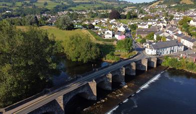
The Table Mountain (Grid Reference SO225207) is clearly visible from most places in Crickhowell. It is just to the north of the village on the eastern shoulder of the much larger Pen Cerrig-calch (701m) which dominates the northern views from the village. Table Mountain is the site of an ancient Iron Age hill fort, the earthworks for which are obvious when you get up close.
The great thing about this walk is that if you are staying in Crickhowell you do not need the car to get to the start of the walk..
The walk covers several steep stretches across open fields and there are 7 styles to negotiate on the way up. This walk retraces the path up, so you'll encounter the same 7 styles on your return.
The pay and display car park to the east of the main A40 (Beaufort Street) as it goes through the village.
Leave the car park through the pedestrian access on to Standard Street. Turn left down Standard St and right at the bottom. Walk passed the Bear Hotel and on passed the petrol station and then right up Llanbedr Road. Continue straight up the hill passing Ffynonanai on the left. At the junction at the top of the steepest part of Llanbedr Rd continue up the lane for about approx. 250 yds.
Go through the farm gate opposite the electrical sub-station and walk up the track to the farmyard (The Wern). Once in the farmyard go to the top right hand corner and proceed through the gate and directly across the field in an easterly direction until you arrive at a style. Follow the path to the left, up the hill to the next style. You now have a walk up the fields towards Table Mountain.
Eventually you arrive at a copse where you climb over a style and go right and up the rough track and over a further style which takes you out on to the open hill side with a clearly marked path through the bracken. Table Mountain is ahead and to the left. Follow the path around the shoulder until you meet the path going more steeply up to the top of the hill. The top of Table Mountain is flat and slopes gently. The views are stunning.
To get back down again, simply retrace your steps. If you have more time and are well prepared for a more demanding extension to this walk, you can carry on up the hill to Pen Cerrig-calch, Pen Allt-Mawr and Waun Fach.
Book Tickets
Guide Prices
Pay and Display Car Park £2.50
Facilities
Accessibility
- Disabled toilets
Booking & Payment Details
- Cash Point
Catering
- On-site catering
- Picnic site
Property Facilities
- Gift shop
- Postbox
- Public toilets
Routes
- Accessibility of route - SO218185
- Length of route (miles) - 3
- Typical duration of route - 3 hours
Target Markets
- Accepts groups
- Coach parties accepted
Map & Directions
Road Directions
A465 or A40 from Abergavenny.
Accessible by Public Transport: Abergavenny station is 7 miles away.


 to add an item to your Itinerary basket.


