Book Tickets Online
About
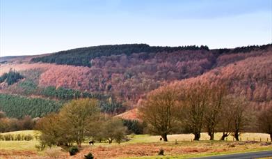
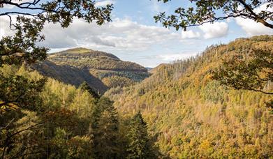
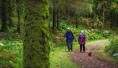
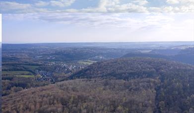
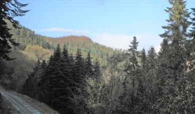
Ceri Forest is a coniferous forest which sits astride the Kerry Ridgeway in the uplands of Montgomeryshire. The Kerry Ridgeway, a long distance regional footpath, runs from near Newtown in Powys to Bishops Castle in Shropshire through the Ceri Forest.
The ancient Kerry Ridgeway path is 15 miles (24 km) long, from Cider House Farm, near the village of Kerry, to Bishops Castle in England. It holds a long tradition as a trade and drovers’ route from Wales to the lowland English markets.
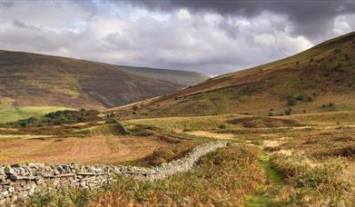
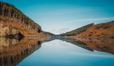
The route follows a ridgetop overlooking Wales on the one side and England on the other. It never dips below 1000 ft (300 m)above sea level, resulting in remarkable views in all directions: up to 70 miles (112 km) on a clear day. Last used regularly by cattle and sheep drovers some 150 years ago, the ancient highway forges a track through airy heather moors, cool woodlands and breezy bilberry-rich heaths.
The Kerry Ridgeway's origins are lost in the mists of time but it certainly is older than the Iron Age and Dark Ages earthworks which cut its line. Nearby are Bronze Age burials and a stone circle, all constructed on the high sandstone ridge between the Severn Valley and the upper reaches of the river Teme, a commanding site for countless unrecorded and little understood ceremonies.
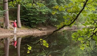
The route undulates gently throughout, ideal for walkers, horseriders and mountain bikers, all of whom can legally trace this prehistoric way throughout.
Above, you may glimpse the glorious red kite (not to be confused with the common buzzard - look for the kite's forked tail). Woodland visitors may include goldcrest and hawfinch, whilst the shy roe deer may fleetingly appear. Later stretches of the route are a kaleidoscope of wildflower blooms in spring and early summer.
The path is looked after by Powys County Council with main access points are from Cider House Farm and Block Wood Car Park
Block Wood Car Park
There are three waymarked routes that start from Block Wood car park, They all follow the Kerry Ridgeway. This car park and picnic site is the access point for the Kerry Ridgeway.
Additional car parks at Cider House Farm & 2 other locations.OS Grid Reference: SO149862.
Sarn Hills Car Park (Post Code SY7 8QT | OS Grid Reference: SO165866)
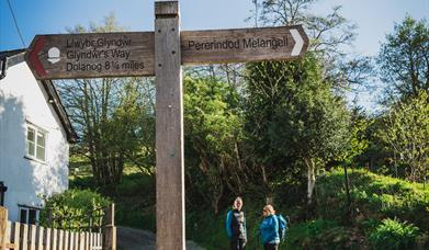
The Kerry Ridgeway long distance footpath runs through the forest and is ideal for family walks & bike rides along its flat hilltop route.
Please note: Whilst undertaking maintenance work or forest operations, NRW occassionally need to close or divert trails for your safety or to close a site in extreme weather, such as high winds or snow and ice due to the risk of injury to visitors or staff. Please always follow any instructions onsite and make sure you follow any temporary diversion signs in place.
Book Tickets
Facilities
Children
- Children welcome
Parking
- Free Parking
Property Facilities
- Dogs Accepted
Target Markets
- Accepts groups
Map & Directions
Road Directions
Kerry is the nearest town or village.
From the Welshpool-Newtown road (A483) take a left at the first roundabout, follow the A489 to Craven Arms. After approx 3 miles you enter the village of Kerry, proceed through the village, turn right onto B4368. Follow the road for approx 3 miles this will take you past Block Wood, continue along this road until you come to The Anchor Inn. At the crossroad take a left turn and follow this road until you come to the crossroads (approx 1.4 miles), turn right here onto the Kerry ridgeway and the car park is 500 metres on the left.
OS Grid Reference: SO192874
The nearest railway station is Newtown, which is 3 miles away.


 to add an item to your Itinerary basket.


