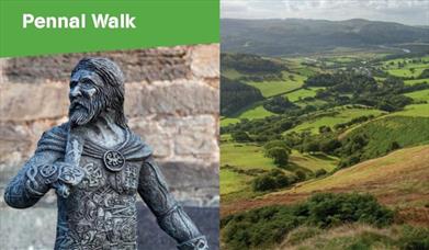
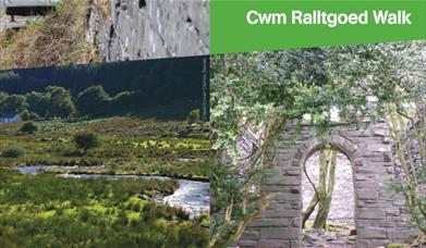
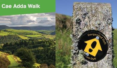
About
Start: Snowdonia National Park Authority car park, Cwm Maethlon/Happy Valley
Grid Reference: SN 640 986
Distance: 5 km - 3.1 miles (shortcut 4 km – 2.5 miles)
Grade: Moderate
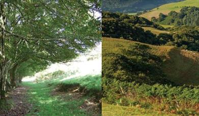
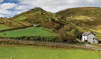
Terrain: Open moorland, firm tracks, fields and tarmac road. Can be muddy in places.
Maps: OS Explorer – OL23
Refreshments: Cafes, restaurants and shops at Aberdyfi and Pennal
1 At far end of car park go through kissing G, and L along track passing bungalow on your L, through G and on ignoring any turnings to the L to cross a small stream. Go L between Tyddyn-y-briddell farmhouse and outbuildings, and over a S ignoring track on R, on up and over another S and on.
2 Turn R at a marker post by a boulder to walk diagonally L up the bank, cross a small stream
before rejoining the track further up, and on through a G....Read More
About
Start: Snowdonia National Park Authority car park, Cwm Maethlon/Happy Valley
Grid Reference: SN 640 986
Distance: 5 km - 3.1 miles (shortcut 4 km – 2.5 miles)
Grade: Moderate
Terrain: Open moorland, firm tracks, fields and tarmac road. Can be muddy in places.
Maps: OS Explorer – OL23
Refreshments: Cafes, restaurants and shops at Aberdyfi and Pennal
1 At far end of car park go through kissing G, and L along track passing bungalow on your L, through G and on ignoring any turnings to the L to cross a small stream. Go L between Tyddyn-y-briddell farmhouse and outbuildings, and over a S ignoring track on R, on up and over another S and on.
2 Turn R at a marker post by a boulder to walk diagonally L up the bank, cross a small stream
before rejoining the track further up, and on through a G. Continue up to where the track bends L, then turn R next to a marker post to go through a G A then follow the path down. Just before you reach the lake B, the path splits.
3 Turn R past a large boulder to go uphill, and then down to join a track and turn R. On joining another track bear R uphill through a G, then continue ahead to pass a monument for Carn March Arthur
C on your R, and continue along the track, through a G D. Eventually go through a G on the L by a cottage. Just beyond a second G turn half R to walk across the field. Go through a G and aim for a notch in the far hills as you walk downhill E to reach a G in the far bottom LH corner of the field.
4 For a shortcut turn sharp R 100m before the G to follow the fence back. Where it turns L head slightly L across slope and down through G. On across stream and through G. Turn L past Tyddyn-y -briddell to return to start. To continue go through the RH gate and bear
diagonally L to reach a G half way down the field, then on along a track to the far bottom corner, through another G, and on with the fence on your R. Go through a G and turn half R across field towards buildings behind trees, to reach a waymark post. Just beyond cross a FB, walk ahead through a G and follow the lane to the road.
5 Turn R back to the car park in about 1 km (½ mile).
Read Less

 to add an item to your Itinerary basket.