to add an item to your Itinerary basket.


Book Tickets Online
About
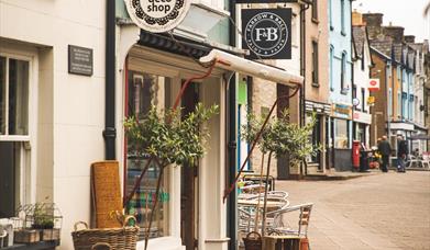
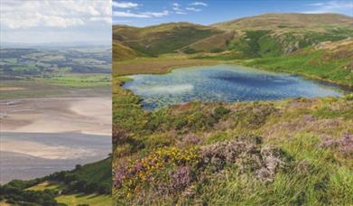
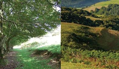
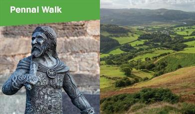
This walk starts at the Y Plas car park, Machynlleth and is graded as a moderate route. The terrain includes road, woodland paths, firm tracks and fields and is a distance of 5 miles. Grid Reference: SH 743 004 and OS Explorer Map OL23. Refreshments are available in Machynlleth and Dyfi Wildlife Centre.
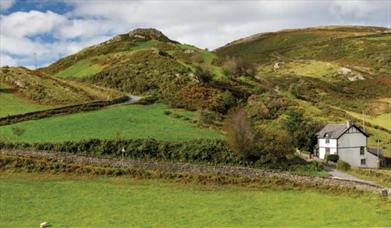
1. From the car park walk back towards Y Plas entrance and turn L next to the lodge, through a G to follow a waymarked path up some steps. Ignore a path on the L and continue up to go through a G to cross a track to reach a marker post. Follow the grass path passing houses on your L, past a finger post, to reach another next to a road. Turn L here to follow the road up and then down over a CG following the Wales Coast Path. Follow road past Gelli Lydan to a finger post on the R.
2. Go over a S and half L down field to S and finger post. Turn R along road to a junction, turning sharp L and on up road. Where the road bends L, keep ahead to follow a sign for the Wales Coast Path.
3. Take 2nd turn on R by white quartz boulder and finger post up a grass track and through a G. Walk directly ahead to reach another post next to a G ignoring track down on L. On along grass track, then R at finger post to enter forest. Follow the track down to join a stream
on the L and exit the woodland through a G, then walk ahead to pass a house on your R. Go through two Gs before turning L along tarmac road.
4. Just before you reach an old barn, turn R through a G then follow stream on L, over a S and on along the raised embankment before going through a G and turning R along tarmac road. At junction keep ahead through G and on along road, passing T. Coch on R.
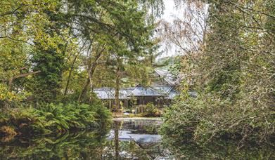
5. Go through a G on L next to finger post and walk L of pond to cross a bridge. Follow the path L into the woodland and on down through two Gs. Continue down to cross a FB, then on to reach the main road. WATCH OUT for oncoming traffic, before crossing and turning L to walk along the verge to reach the Dyfi Wildlife Centre
Book Tickets
Facilities
Parking
- EV Charging - There are 2 devices and 4 connectors available at Maengwyn St Car Park, Machynlleth
Property Facilities
- Public toilets
Routes
- Description of route
- Length of route (km) - 8.3
- Length of route (miles) - 5 miles
- Linear Route
- Moderate Route
Map & Directions
Road Directions
The town of Machynlleth is situated on the main A487 and A489 roads.
Public Transport Directions
Machynlleth Railway Station and the T12 Traws Cymru Bus Service connects Machynlleth to Newtown and Welshpool.
Public Transport Information Service - www.travelinecymru.wales