Book Tickets Online
About
The Rheidol Valley or 'Cwm Rheidol' is a good choice for a touring day out, featuring typically Welsh scenery, some unexpected attractions such as major hydro-electric power station and a chance for activities such as fishing and cycling
The River Rheidol (Afon Rheidol in Welsh) is 19 miles in length with a catchment area covering 73 square miles. It rises in the headwaters of the Nant y Moch reservoir on the western edge of Plynlimon and then flows south through the village of Ponterwyd on the main Aberystwyth to Rhayader road. Continuing south-westwards through ancient Welsh Oak woodlands, the Afon Rheidol joins with the Afon Mynach.
The river descends one of the most spectacular waterfalls in Wales at Pontarfynach (Devil's Bridge). Below these waterfalls, the river passes the abandoned workings of the Cwm Rheidol lead mine. The remainder of the meandering course of the river is through an ever-widening valley before reaching the sea at Aberystwyth.
There are a number of tourist attractions in the Rheidol Valley which include the Magic of Life Butterfly Butterfly House and the Devil's Bridge waterfalls where three bridges, each built over the previous, span the top of a most spectacular waterfall.
Between Devil's Bridge and Aberystwyth runs a narrow-gauge steam railway - the Vale of Rheidol Railway built originally to ship metal ore from the mines. Nowdays it is a popular tourist route into the top end of the Rheidol Valley. The Valley is also home to the Cwm Rhiedol Hydro-electric scheme which has an excellant Visitor Centre with an exhibition and cafe. Other popular activities in the Rheidol Valley include fishing, cycling and walking.
Nant-y-moch Reservoir
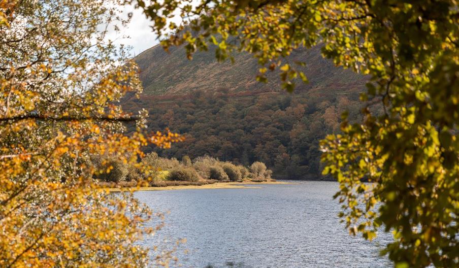
The Nant-y-moch reservoir (680 acres) dates from 1964 and forms part of the Cwm Rheidol hydroelectric power scheme.Walking from the car park next to the dam on the southern side of the water, you can pick up a quiet lane running west along the lake. You can follow this round to the northern side of the water where there are some hill climbs with fine views back down to the reservoir. This quiet reservoir provides a huge expanse of wild brown trout fishing.
Book Tickets
Map & Directions
Road Directions
Turn off the A44 (Aberystwyth -Llangurig road) at Capel Bangor towards Cwm Rheidol. Follow the road 4 miles down the valley.
Public Transport Directions
The nearest train station is at Aberystwyth (5 miles), and public transport operates along the A44. The signposted Rheidol Cycle Trail which begins in Aberystwyth, terminates at Cwm Rheidol.


 to add an item to your Itinerary basket.


