Book Tickets Online
About
Offa's Dyke Path is a 177 mile (285 Km) long walking trail that links Sedbury Cliffs near Chepstow on the banks of the Severn estuary with the coastal town of Prestatyn, North Wales on the shores of the Irish sea. It passes through no less than eight different counties and crosses the border between England and Wales over 20 times.
The journey of the Offa's Dyke Path through the borderlands of England and Wales truly offers something for everyone. Whether you are looking for a gentle stroll for an hour or two, or wish to undertake the whole Trail over a couple of weeks or more, a memorable walk amid spectacular countryside is guaranteed.
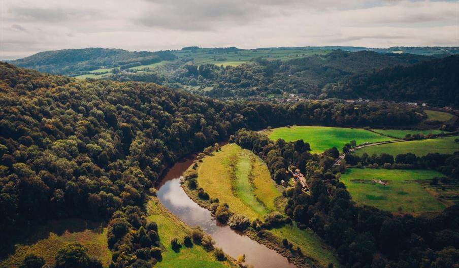
The landscape is always stunning, from the riverside meadows of the Wye and Severn valleys to the peaceful rolling hills of Shropshire and Powys and the dramatic heather clad uplands of the Black Mountains and the Clwydian Range / Dee Valley.
The Path passes through or near to many historic towns, including Chepstow, Monmouth, Hay-on-Wye, Kington, Presteigne, Knighton, Bishop's Castle, Montgomery, Welshpool, Oswestry, Llangollen, Mold, Ruthin, Denbigh, and Prestatyn. Along the way you will discover majestic castles, quiet country churches, enigmatic Iron Age hillforts and enticing country pubs.
The Trail explores the tranquil Marches and passes through the Brecon Beacons National Park and links no less than three Areas of Outstanding Natural Beauty - the Wye Valley, the Shropshire Hills and the Clwydian Range / Dee Valley.
'Offa's Dyke' is an amazing hand-dug bank and ditch built in the 8th century by command of King Offa of the ancient Anglo-Saxon kingdom of Mercia. It was probably intended to divide Mercia from rival kingdoms in what is now Wales, and some sections still form the England/Wales border today.
Dog owners:
Dogs are welcome but please keep them under close control, especially around livestock and cliff edges. Visit www.naturalresources.wales/countrysidecode
Book Tickets
Facilities
Routes
- Description of route - Prestatyn - Chepstow
- Length of route (miles) - 177
Map & Directions
Road Directions
Please consider using public transport to get to the start and/or end of your walk. You will find comprehensive timetables at www.traveline.cymru


 to add an item to your Itinerary basket.


