To provide you with the best experience, cookies are used on this site.  Learn more

Allow cookies
Dyfi Discovery Walk | Cwm Ralltgoed Walk

Book Tickets Online

About

Start: NRW forest car park.
Turn R just before Aberllefenni village sign.
Grid Reference: SH 769 092
Distance: 8.4 km - 5.2 miles
Terrain: Tarmac road, firm tracks & woodland. Some sections may be muddy/overgrown
Grade: Easy/Moderate
Maps: OS Explorer . OL23
Refreshments: Nearest facilities: Corris Craft Centre, Corris Institute Cafe, Corris Railway Museum, Braich Goch bunkhouse, Slaters Arms pub, and T. Te Cadair visitor centre, Tal-y-llyn.

1. From the car park walk back up to the road, and follow it R through Aberllefenni. Fork R around a pond A and head uphill, ignoring the turning on your immediate R. Continue along this road disregarding a waymarked path to the L. After a LH bend where the road starts to descend next to a house, fork L along a forestry track into the woodland.

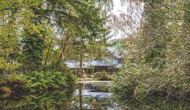
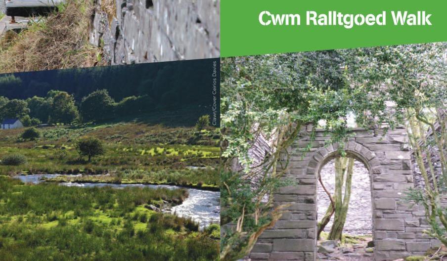
2. At the track junction fork R across a small bridge and go through two Gs, ignoring the turning on the R, and carry on with the river on the L to go through a G ignoring any turnings on the L B. Go through a G to pass the ruins of an old chapel and quarry cottages C, take the L fork and head towards an old quarry building D. The path skirts numerous old ruins E and
continues through a G next to ‘Plas Ralltgoed’ F and on through another G. At a waymarker post next to a large tree turn L and head towards the corner of the field, passing solar panels on the R, to go through a small black G. Head down a steep wooded bank past Dolgoed G.

3. Turn L at the track to cross a small FB and L through a kissing G. Keep L with the fence to
cross a small slate FB H and turn L on to the farm track up towards the forest, through a
kissing G, and continue. At a track junction, turn L to follow track back down through the trees to go through another kissing G. Continue along the track until you reach the bridge you crossed earlier at 2. Take the R fork uphill into the woods.

4. At a junction turn L along a track, later down through a G and on until you reach the road.
Turn R, and retrace your route around the pond and back to the car park.

Book Tickets

Facilities

Booking & Payment Details

  • Cash Point

Catering

  • Picnic site

Parking

  • EV Charging

Property Facilities

  • Gift shop
  • Public toilets

Routes

  • Description of route - Easy/Moderate
  • Length of route (miles) - 5

Target Markets

  • Accepts groups
  • Coach parties accepted

Map & Directions

Road Directions

The town of Machynlleth is situated on the main A487 and A489 roads.

There is on-street parking on the main high street as well as a car park located close to the town centre. It is also served by the train station which is located to the north of the town.

Accessible by Public Transport: Machynlleth station is 0 miles away.

Dyfi Discovery Walk | Cwm Ralltgoed Walk

Type:Walking Route

Aberllefenni, Machynlleth, Powys, SY20 8BL

Add Dyfi Discovery Walk | Cwm Ralltgoed Walk to your Itinerary

Close window

Call direct on:

Tel0300 065 3000

Related

mid wales, machynlleth, town, holidays, visitingMachynlleth, MachynllethUnwind in the heart of the Dyfi Biosphere at Machynlleth. Part of the UNESCO Dyfi Biosphere and offers exciting activities, from mountain biking to exploring the natural beauty of Mid Wales. The Centre for Alternative Technology is an excellent place to learn about environmentalism, while the…

Llyn BarfogDyfi Discovery Walk | Llyn Barfog Walk, TywynStart: Snowdonia National Park Authority car park, Cwm Maethlon/Happy Valley Grid Reference: SN 640 986 Distance: 5 km - 3.1 miles (shortcut 4 km – 2.5 miles) Grade: Moderate Terrain: Open moorland, firm tracks, fields and tarmac road.

Centre for Alternative TechnologyDyfi Discovery Walk | Centre for Alternative Technology Walk, MachynllethStart: Centre for Alternative Technology (C.A.T) car park Grid Reference: SH 754 044 Distance: 7.1 km – 4.4 miles Grade: Moderate (some steep sections) Terrain: Firm tracks, roads and open grassland Maps: OS Explorer OL23 or 215

Dyfi Discovery Walk | Ceinws to Llanwrin WalkDyfi Discovery Walk | Ceinws to Llanwrin Walk, MachynllethStart: Ceinws village Grid Reference: SH760 059 Distance: 11.3 km – 7 miles (additional 0.7km - 0.4 miles to Llanwrin) Grade: Moderate / Strenuous Terrain: Firm tracks, open fields Maps: OS Explorer 215

Dyfi Discovery Walk | Pennal WalkDyfi Discovery Walk | Pennal Walk, MachynllethStart: Pennal village Grid Reference: SH 699 004 Distance: 13.2km – 8.3 miles Grade: Strenuous – A mountain walk, not to be undertaken in poor visibility Maps: OS Explorer – OL 23

Dyfi Discovery Walk | Cwrt WalkDyfi Discovery Walk | Cwrt Walk, MachynllethStart: Village car park, Cwrt Grid Reference:SH 688 000 Distance: 4.8 km – 3 miles (with extension 6.6 km - 4 miles) Grade: Moderate (extension energetic) Terrain: Tarmac road, firm tracks, fields and woodland Maps: OS Explorer - OL 23

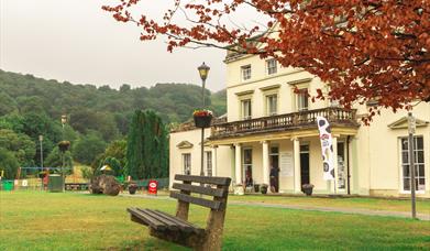
Y Plas Machynlleth - starting point for Machynlleth to Morben WalkDyfi Discovery Walk | Machynlleth to Dyfi Wildlife Centre, MachynllethThis walk starts at the car park at Y Plas, Machynlleth and is graded as moderate. The terrain includes road, woodland paths, firm tracks and fields and is a distance of 5 miles.

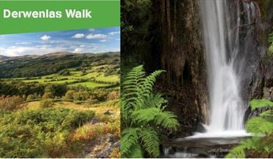
Dyfi Discovery Walk | Derwenlas WalkDyfi Discovery Walk | Derwenlas Walk, MachynllethStart: Lay-by Derwenlas Grid Reference: SN721 991 Distance: 6.2 km - 3.8 miles Grade: Moderate Terrain: Firm tracks, open fields, some boggy areas Maps: OS Explorer OL23

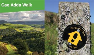
Dyfi Discovery Walk | Cae Adda WalkDyfi Discovery Walk | Cae Adda Walk, MachynllethStart: Near Dovey Valley Shooting Centre Limited car parking Grid Reference: SH 806 051 Distance: 10 km – 6.2 miles Grade: Moderate with some steep sections Terrain: Fields, rough tracks Maps: OS Explorer - 215

Talyllyn LakeCircular Machynlleth via Tal-y-llyn | Scenic Drive, MachynllethThis 35 mile circular route takes you on the A487 from Machynlleth via Corris towards Dolgellau and before turning off on the B4405 to Tywyn via the picturesque Talyllyn lake at the foot of Cadair Idris. Return to Machynlleth via Aberdyfi.

What's Nearby

  1. Abercorris Nature Reserve in southern Snowdonia is a three acre site of remnant…

    1.58 miles away
  2. Ride in an old fashioned steam train on a journey that is enjoyable for everybody and…

    1.6 miles away
  3. Sail underground, through the magical veil of a waterfall, and pass into a mythical world…

    1.77 miles away
  4. Best Experience in Mid Wales (Mid Wales Tourism Awards) and awarded a Trip Advisor…

    1.77 miles away
  1. Discover the ancient stories of bards and fairy folk hidden inside a leafy maze. Tales…

    1.76 miles away
  2. Corris Caverns is the name for the fantastic attractions and experiences that start from…

    1.77 miles away
  3. The award-winning Dyfi Distillery is run by brothers Pete and Danny Cameron who…

    1.77 miles away
  4. Sail underground, through the magical veil of a waterfall, and pass into a mythical world…

    1.77 miles away
  5. Cadair Idris Visitor Centre & Tea Room is 250 metres from the car park and the Minffordd…

    2.87 miles away
  6. Located at the foot of Cadair Idris, Tal-y-llyn Lake is north of Machynlleth and…

    3.51 miles away
  7. The Centre for Alternative Technology (CAT) is a world-renowned eco centre in Mid Wales…

    3.54 miles away
  8. Cadair Idris is a spectacular mountain reserve in southern Snowdonia with a variety of…

    5.69 miles away
  9. Throughout the year MOMA WALES shows Modern Welsh Art, in a series of constantly changing…

    5.76 miles away
  10. Experience the Wonder of Dyfi Biosphere: A Natural Gem Recognised by UNESCO

    Discover the…

    5.95 miles away
  11. Mill shop offering a huge range of traditionallly woven throws and rugs, outdoor &…

    5.95 miles away
  12. Y Plas Machynlleth is a Grade 2 listed building, set in parkland offering a unique…

    5.96 miles away
Previous Next

Don't Miss

Don't Miss

Don't Miss

Don't Miss

Don't Miss