Book Tickets Online
About
Hafren Forest is managed by Natural Resources Wales. For full details of the visitor facilities here (including trail lengths and grades), information about any changes or temporary closures to trails or other facilities please go to the Natural Resources Wales website.
Hafren Forest was planted by the Forestry Commission in the 1930s and is named after Afon Hafren (the Welsh name for the River Severn).
The source of the River Severn is in a peat bog on the slopes of Pumlumon, Mid Wales’ highest mountain. In no time at all it becomes a torrent with falls and cascades plunging headlong through the forest.
A walk along one of the trails, which are waymarked from the car park, is a great way to enjoy this beautiful river. The longest route takes you to the source of the Severn, just outside the forest’s boundary. The shorter trails go to waterfalls within the forest, including the famous Severn-Break-its-Neck, and there is a riverside accessible trail.
There is a spacious picnic area near the car park.
Hafren Forest is also home to many public footpaths and bridleways and it is the starting point for two long distance walks (the Wye Valley Walk and the Severn Way).
The Sustrans National Cycle Network route 8 (Lôn Las Cymru) follows the minor road through Hafren Forest.
WALKING TRAILS
The walking trails start from the main car park (Rhyd-y-benwch) and are waymarked from start to finish.
The Cascades Walk is a short accessible trail along a riverside boardwalk to a raised platform with views of the cascades.
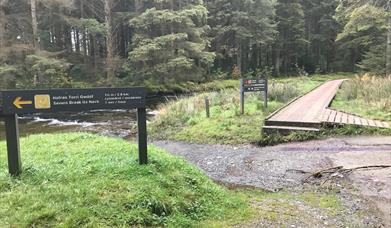
The Severn-Break-its-Neck Trail sets off alongside the river and goes through a wildflower meadow before crossing a footbridge where the River Severn thunders down a gully to form the famous Severn-Break-its-Neck waterfall.
The Blaen Hafren Falls Trail is a scenic route through the heart of the forest alongside the River Severn to Blaen Hafren Falls.
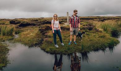
The Source of the Severn Trail is a long and strenuous trail alongside the river, first through the forest and then onto boggy moorland to the carved wooden post which marks the river’s source on Pumlumon. The trail passes by some heritage features including a standing stone and the remains of a mine and a farmstead - look out for the information panels along the route.
Book Tickets
Facilities
Accessibility
- Disabled toilets
Catering
- Picnic site
Parking
- Free Parking
Property Facilities
- Public toilets
Target Markets
- Coach parties accepted
Map & Directions
Road Directions
From Llanidloes town centre face the Market Hall from Great Oak Street and take Short Bridge Street directly opposite. Follow the narrow road to Old Hall.
The Rhydybenwch picnic site is 6 miles west of Llanidloes. It can also be reached from the northern end of Llyn Clywedog on minor roads.
OS Grid Reference: SN857869
The nearest railway station is Caersws, which is 0 miles away.


 to add an item to your Itinerary basket.


