Book Tickets Online
About
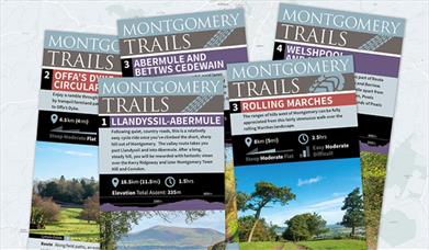
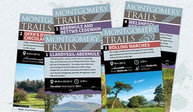
There are five cycle rides based on Montgomery that will provide you with beautiful views of the dramatic countryside of the Mid Wales Marches. The lanes are free of heavy traffic and therefore if you need to push up any hill it is easy to do so. Cycle Parking is available in Broad Street in the town centre. This route has the option to extend the ride to include the Dolydd Hafren Nature Reserve.
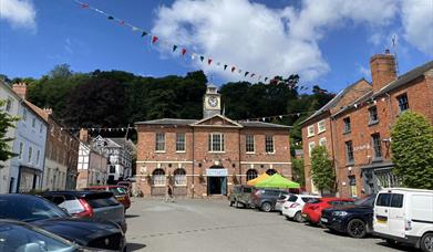
1. Starting from the square in front of the Town Hall take Kerry Street that goes off to the left of the Town Hall. Follow the road as it goes round to the right and up a hill to give a spectacular view over Montgomery – you may have to walk this section, but it is worth it!
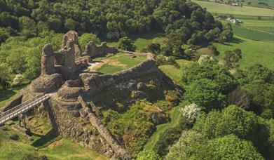
Montgomery Castle:a masonry castle standing on a rocky promontory above the town of Montgomery, precipitous slopes to the north and east make this an excellent defensive site. The castle was built by Henry III to counter the growing power of Llywelyn ap Gruffudd in this area of the Marches. It was probably originally built in timber in 1223 and then almost immediately rebuilt in stone and completed by 1234.
2. (1.4 miles): Drop down two hills and pass a brown brick water pumping station on your right. Just before dropping down the next hill turn right into a small lane at 2 on the map.
3. (2.5 miles): At the end of the lane go straight over at a staggered junction into a lane signposted Hendomen. Take care as visibility to the left is restricted and traffic can be fast. Carry on to the “hamlet centre” with a telephone box on left.
4. (2.8 miles): Just on from the telephone box take a very smalllane on the right which slopes steeply down to the side of a house. Carry on pass farms and a small sewerage plant.
5. (3.4 miles): Carefully cross the junction onto New Road. Good view of castle across to the right.
6. (3.7 miles): At lane end turn right. Take care, as visibility to the left is restricted. Carry on up hill into Montgomery.
7. (4.0 miles): At junction in front of old Sunday school, cross Pool Road and go straight on up Arthur Street to Montgomery Town Hall.
EXTENSION OF ROUTE TO NATURE RESERVE:2.8 miles
At (4) turn left down the small lane at the side of the telephone box. Drop down the lane to a level crossing. Only cross when the lights are green and ensure all the gates are left closed.
8. 3.3 miles
At the lane end turn right onto a wider road opposite Rhydwhyman ford. Follow road towards a white farmhouse on a ridge.
Rhydwhyman Ford: Rhydwhyman (meaning “swift ford”) has existed since the 13th Century and was an important river crossing up until the 19th Century.
9. 4.1 miles: At the large white farmhouse turn left (do not follow the road as it turns sharply to the right) and go straight on down a lane which deteriorates slightly as it drops down the ridge. Follow lane for about 2/3 mile to the nature reserve car park and display board.
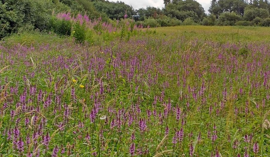
Dolydd Hafren Nature Reserve:This reserve is situated by the river Severn and the marshes attract a whole host of different birds. There are two hides and the farthest one from the car park has a lovely view of the river. The ‘sightings’ log in there is fascinating and gives you a challenge to match the number of varieties seen.
Book Tickets
Facilities
Accessibility
- Disabled toilets
Booking & Payment Details
- Cash Point
- Credit cards accepted (no fee)
Catering
- On-site catering
- On-site light refreshments
- Picnic site
Children
- Baby changing facilities
Groups
- Education/study area
- Facilities for educational visits
- Facilities for groups
Meeting, Conference & Wedding Facilities
- Facilities for conferencing
- Facilities for corporate hospitality
Parking
- Free Parking
Property Facilities
- Gift shop
- Postbox
- Public toilets
Routes
- Length of route (miles) - 4
Site Features
- Regional Tourist Board Member
Target Markets
- Accepts groups
- Coach parties accepted
Map & Directions
Road Directions
From the southern end of the Welshpool by-pass, take the A490 and right onto the B4388.
Accessible by Public Transport: Welshpool station is 9 miles away.


 to add an item to your Itinerary basket.


