Book Tickets Online
About
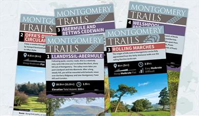
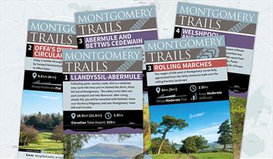
There are five Montgomery Cycle Trails based in and around Montgomery that will provide you with beautiful views of the dramatic countryside of the Mid Wales Marches. The lanes are free of heavy traffic and therefore if you need to push up any hill it is easy to do so. Cycle Parking is available in Broad Street in the town centre.
Montgomery Cycle Trail | Llandyssil and Abermule (11.5 mi / 18 km)
This is an attractive valley route followed by a steady climb, rewards you with fantastic views over the Kerry Ridgeway and as far as Cader Idris on a clear day.
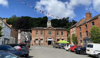
1. Starting from the square in front of the Montgomery Town Hall take Kerry Street that goes off to the left of the Town Hall. Follow the road as it goes round to the right and up a hill to give a spectacular view over Montgomery – you may have to walk this section, but it is worth it!
Montgomery Castle:a masonry castle standing on a rocky promontory above the town of Montgomery, precipitous slopes to the north and east make this an excellent defensive site. The castle was built by Henry III to counter the growing power of Llywelyn ap Gruffudd in this area of the Marches. It was probably originally built in timber in 1223 and then almost immediately rebuilt in stone and completed by 1234.
2. (1.4 miles): Go straight on down the hill instead of turning right. You will see the village of Llandyssil in the valley
bottom.
3. (1.9 miles): At the crossroads by the white converted chapel go left if you want to visit the village of Llandyssil or follow the short cut. Otherwise go straight on.
If just visiting the village - turn right at the pub and then follow the road to rejoin the main route at the next crossroads where you turn left.If following the short cut - turn left at the pub and then follow the lane uphill for about a mile until you reach a crossroads opposite a white house.
Rejoin the main route here by turning left at point
4. (2.2 miles): Go straight on at these crossroads if you bypassed the village. Follow the road along the valley.
5. (4.0 miles): At the lane end turn left onto a wider road. Soon cross over a railway.
6. (4.2 miles): Go straight ahead at the roundabout and along Abermule “main street” and pass a small shop on your left
and a pub on the right.
7. (4.5 miles): Turn left onto the B4368 (Clun road) very soon after the shop.
8. (4.6 miles): Cross the railway line and immediately turn left into a road sign-posted Cefn y Coed. Follow this road as it climbs through houses and then into beautiful countryside. Stay on this road ignoring all lanes off to left and right until you reach a crossroads by a white house (the short cut rejoins the route here)
9. (7.0 miles): Continue straight over the crossroads to the top of the hill where there are superb views.
10. (7.6 miles): Very soon after the top of the hill the road splits at a grass triangle with the left hand road sign-posted to Montgomery. Take this road and enjoy absolutely glorious views on left and right from this ridge road. Ignore all
smaller lanes and ultimately the road will drop down past a telephone box on your left.
11. (9.9 miles): At the junction at the bottom of the hill turn left and follow road back into Montgomery.
Book Tickets
Facilities
Routes
- Description of route - Montgomery - Abermule - Llandyssil - Montgomery
- Length of route (miles) - 11.5 miles
Site Features
- Regional Tourist Board Member
Map & Directions
Road Directions
From the southern end of the Welshpool by-pass, take the A490 and right onto the B4388.
Public Transport Directions
Welshpool Railway station is 9 miles away.
Cycle Parking in Broad Street, Montgmery
Wales Transport Information Service: www.travelinecymru.wales


 to add an item to your Itinerary basket.


